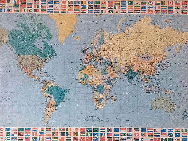
In GIS classes, students discover the myriad ways maps can be used to provide information.
- Sixth graders learn foundational geographic concepts such as types of maps, map elements and navigational tools.
- Seventh graders explore how viruses travel around the globe, and how the brain can be affected by viruses, fungi, bacteria, or poison. They participate in a mock zombie apocalypse.
- Eight graders locate Open Source Data to create GIS Day Map posters during first semester. In both semesters, eighth graders analyze data presented through story maps and other online maps, and create their own maps.
Dr. Vicki Albritton teaches sixth, seventh and eighth grade GIS classes as well as 7th and 8th grade TED-Ed classes. She has taught at the elementary through college levels. Raised in southeast Florida, she has lived in five states, as well as the countries of Panama and Germany. She landed in Georgia in 1992 with her husband who was in the U.S. Army at the time. Their daughter is a middle school science teacher in Florida, where she lives with her husband and two children. Dr. Albritton is passionate about the ocean and all of its creatures, and is an avid seashell collector. In addition to making jewelry, she enjoys camping, kayaking, hiking, and traveling.